
Should I use drone photography?
Should I use drone photography? Spoiler: if you want more exposure, faster offers, and higher sale prices in Georgetown, the answer is yes — when done right.
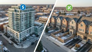
Why drone photography matters for home sellers in Georgetown, ON
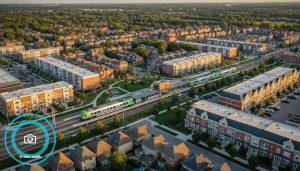
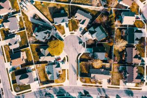
You want two things when you sell: attention and confidence. Drone photography delivers both. It gives buyers a top-down view that photos from inside the home can’t. For Georgetown sellers, aerial imaging shows:
- Lot size and shape (huge for riverfront and mature treed lots along the Credit River)
- Backyard features (pools, decks, patios, detached garages)
- Proximity to parks, schools, and downtown Georgetown
- Views of the Niagara Escarpment and surrounding green space
- Neighbourhood context (walk score, street layout, privacy)
When buyers scroll listings, they decide in seconds. Aerial shots stop the scroll. They turn casual viewers into qualified leads.
Real marketing logic — not fluff
You’re not hiring a drone for pretty pictures. You’re buying attention and trust. Attention is the first metric. Listings with compelling aerials get more clicks on MLS, Realtor.ca, and social ads. Trust is the second. Aerials make the listing transparent — buyers understand what they’re getting. That reduces lowball offers and speeds up negotiations.
This is direct marketing: better creatives drive better results. If your listing stands out in Georgetown’s Halton Hills market, you get more showings and better offers.
When drone photography wins (and when it doesn’t)
Use drone photography when:
- Your property has a large lot or unique land features (river access, slopes, mature trees)
- You need to show proximity to parks, schools, or GO transit options
- You want to highlight a backyard oasis, pool, or new landscaping
- The neighbourhood layout or curb appeal is a major selling point
Skip drone photography if:
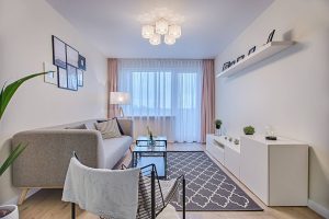
- The property is a small condo or interior-focused (then invest in quality interior photos)
- Local rules or safety concerns prevent safe flight that day
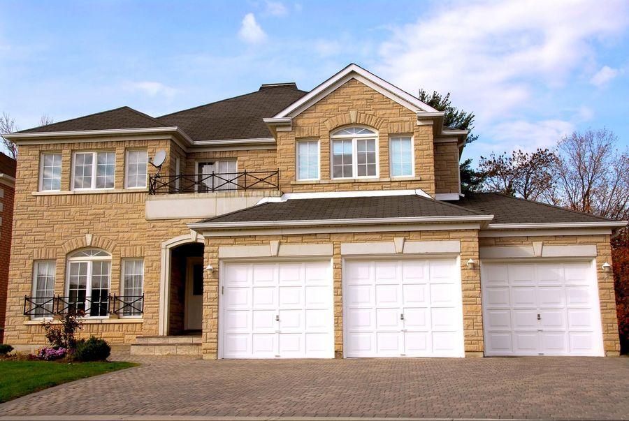
Most detached homes in Georgetown benefit. The ROI is in exposure and quicker sales.
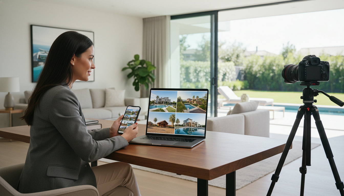
How to use drone media to sell faster — the playbook
- Start with a plan. Treat the drone shoot like a product launch. Define your hero shots: front elevation, backyard overview, aerial of neighbourhood, and a short glide-over video.
- Time it right. Shoot at golden hour for soft light. For fall listings, capture autumn colours around the Escarpment and Credit River — it sells.
- Combine stills + video. Use 8–12 high-res aerials and a 45–60 second highlight video for social and listing pages.
- Add context overlays. Include property lines, lot size, and distance markers to parks or the GO station in graphics.
- Publish everywhere. MLS/ Realtor.ca, your property website, YouTube, Instagram Reels, Facebook Ads. Short vertical clips for Reels and TikTok. Longer 1–2 minute cinematic tours for YouTube and listing pages.
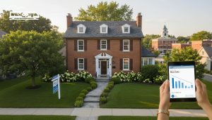
- Create a property landing page. Use the aerial hero image, the highlight video, and a map lead capture form. Offer virtual tours and schedule showings from that page.
Do these six things and your listing performance changes.
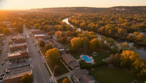
Local edge: why Georgetown makes drone photos powerful
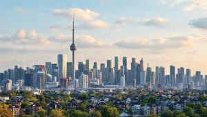
Georgetown is not just another suburb. It’s Halton Hills — a mix of heritage downtown, riverfront lots, and the Escarpment backdrop. That’s visual currency. Buyers from Toronto and surrounding areas want that context.
Aerial shots make that context obvious. They show how close a house is to downtown shops, the Credit River trails, and the 401/407 corridors without relying on words. For sellers, that translates to a wider buyer pool — commuters, young families, and downsizers who care about lifestyle.
Costs, timelines, and expected ROI
Be practical. Drone services in Georgetown typically range from a modest add-on to a full marketing package:
- Basic drone photo package: $150–$350 (5–8 aerials)
- Photo + short video (highlight reel): $350–$700
- Full marketing package (interiors, drone, video, property page): $700–$1,500
Think in ROI. If aerials shorten time on market by weeks or push your sale price up by even 1–3%, the cost pays for itself. In a competitive Halton Hills market, standing out matters.

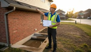
Safety, rules, and hiring the right operator (do this first)
Canada has rules. Transport Canada requires drone registration and a pilot certificate for drones over 250g. For commercial work (real estate), operators should have the Advanced Operations Pilot Certificate or be able to operate within local rules.
What to verify before booking:
- Proof of Transport Canada certification and registration
- Commercial insurance (liability coverage)
- Experience with real estate listings and MLS upload specs
- Local knowledge — they should know Halton Hills, flying restrictions, and good vantage points
If your drone operator can’t show certification and insurance, don’t book them.
Shot list that converts — use this every time
- Front elevation with driveway and street view
- Straight top-down lot shot showing property lines
- Backyard overview showing amenities (pool, deck, landscaping)
- Neighbourhood flyover showing proximity to amenities and transit
- Aerial timelapse or short cinematic sweep for social ads
Deliverable specs: 20MP stills minimum, 4K 30fps video for highlights, vertical edits for Reels and TikTok.
Marketing distribution that multiplies exposure
- MLS & Realtor.ca: lead with the aerial hero shot
- Property landing page: host your highlight video and lead form
- YouTube: 1–2 minute cinematic tour with SEO-optimized title and description
- Instagram/Facebook: 15–60s vertical clips and Reels with local hashtags (#GeorgetownON #HaltonHills #GeorgetownRealEstate)
- Paid ads: use the 15–30s video as the primary creative — test 2 versions
The creative drives clicks. The platform turns clicks into leads.
Choosing between DIY drones and pro operators
DIY tools look cheap, but there’s risk. Poor lighting, shaky footage, bad framing, or illegal flights damage your listing more than no aerial at all. A pro operator provides:
- Clean, legal flights
- Polished editing and color grading
- Correct file types and sizes for MLS and social
- Branded short clips that convert
If you want top-dollar and fewer headaches, hire a pro.
Case study snapshot (typical)
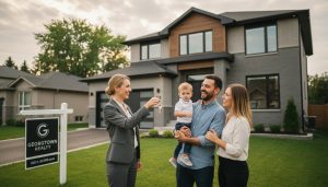
Seller: 4-bed detached in downtown Georgetown. Problem: hidden backyard potential. Action: pro drone photos + 60s highlight video + property landing page. Result: 30% more listing views week-one, three offers above asking, sold in 10 days. That’s marketing working.
Closing argument — plain and direct
If you want your Georgetown home found, clicked, and bought quickly, drone photography is a high-impact tool. It’s not for every listing, but for most detached and estate homes in Halton Hills it’s essential. Done legally and professionally, aerial imagery increases exposure, reduces time on market, and improves the quality of offers.
Call to action — local help, proven results
If you’re selling in Georgetown and want a marketing plan that converts, get a free consultation. I’ll show you where drone photography fits in your package and how it moves buyers faster.
Contact: Tony Sousa — tony@sousasells.ca • 416-477-2620 • https://www.sousasells.ca
Frequently Asked Questions (FAQ)
Q: Is drone photography legal for real estate in Georgetown?
A: Yes, with rules. Drones over 250g must be registered with Transport Canada. Commercial drone work requires the appropriate pilot certificate. Operators must follow local airspace rules and NOTAMs. Hire a certified operator.
Q: How much does drone photography cost in Georgetown?
A: Typical ranges: $150–$350 for photos, $350–$700 for photo+video, $700+ for full marketing packages. Final price depends on scope, editing, and whether you need overlays or property websites.
Q: Will drone photos actually help my listing sell faster?
A: Yes. Aerial photos increase listing visibility and help buyers understand property layout. That typically leads to more showings and stronger offers—especially in Halton Hills where lot size and outdoor space matter.
Q: Do I need to be there for the drone shoot?
A: You don’t have to be present, but coordinate with your agent. The operator will need access to exterior areas and clear staging instructions.
Q: What weather is best for drone shoots in Georgetown?
A: Calm, clear days with low wind. Golden hour (early morning or late afternoon) gives the best light. Avoid rainy, foggy, or high-wind days.
Q: Can drone photos show property lines and measurements?
A: Aerials can illustrate lot shape and proximity, but legal property lines and exact measurements require a survey. Use overlays to indicate estimated lines; label them as approximate unless you have a survey.
Q: Are there privacy concerns for neighbours?
A: Operators must respect privacy and avoid capturing private areas of neighbouring homes. A certified operator follows Transport Canada rules and local bylaws.
Q: What insurance should a drone operator have?
A: Commercial liability insurance is a must. Ask for proof of coverage and policy limits before hiring.
Q: Can drone video be used in paid ads?
A: Yes. Short cinematic clips convert well on Instagram, Facebook, and YouTube. Use vertical edits for Reels and Stories.
Q: How do drone photos affect price strategy?
A: Aerials don’t change comps, but they increase perceived value by clearly showing features buyers care about. Use them to justify pricing that reflects lot size, views, and outdoor upgrades.
Contact for a free marketing review: tony@sousasells.ca • 416-477-2620 • https://www.sousasells.ca
Sell smarter. Use the right exposure.