How do I verify land survey accuracy?
“Is this survey accurate? Here’s how to prove it in 7 simple checks”
Why verifying land survey accuracy matters now
A wrong survey costs money, time, and lawsuits. Verify a property survey before you buy, sell, build, or fence. This guide gives a direct, step-by-step plan to confirm accuracy using legal documents, field checks, and professional validation.
Quick checklist to verify land survey accuracy
- Confirm the surveyor is licensed and insured
- Look up the surveyor with your state/provincial licensing board.
- Verify the survey meets NSPS/ALTA or local standards for accuracy.
- Check the survey date and scope
- Recent surveys matter. If older than 5 years, get an update.
- Identify whether it’s a boundary, mortgage/ALTA, or topographic survey.
- Match the legal description and deed
- Verify the survey’s legal description matches the deed or title report exactly.
- Look for metes and bounds, lot numbers, and plan references.
- Inspect monuments and boundary markers
- On-site, confirm iron pins, concrete monuments, or natural markers line up with the survey map.
- If markers are missing, ask the surveyor for a re-set or explanation.
- Review surveyor notes and error tolerances
- Check accuracy statements, precision, and any stated closures or adjustments.
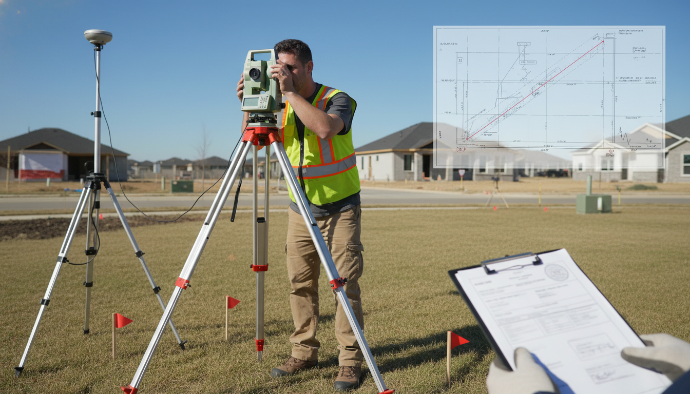
- Look for GPS/RTK vs. total station methods noted on the sheet.
- Cross-check with municipal records and GIS
- Compare the survey to county plat maps, GIS parcel layers, and zoning maps.
- Note any discrepancies in easements, right-of-ways, or setback lines.
- Validate boundaries with title and title insurance
- Ensure title commitments and exceptions match the survey.
- Consider ALTA endorsements if relying on boundary accuracy for a transaction.
- Use a second opinion for high-risk cases
- Hire an independent licensed land surveyor for a peer check or re-survey.
- Ask for a field verification or stake-out before construction starts.

Red flags that mean the survey may be unreliable
- Missing surveyor stamp or license number.
- Vague or incomplete legal description.
- Monuments claimed but not present in the field.
- Large closure error or unspecified tolerances.
- Conflicts with municipal GIS, title, or neighboring surveys.
Final action plan — what to do next
- Run the quick checklist above.
- If anything fails, order a re-survey or independent verification.
- Get written clarification from the surveyor and a corrected stamped drawing.
- Add title insurance endorsements for transactions with boundary risk.
Reliable verification protects value and prevents disputes. If you need a trusted local authority to review your survey, contact Tony Sousa — an expert who coordinates survey verification, land title checks, and on-site inspections. Email: tony@sousasells.ca | Phone: 416-477-2620 | https://www.sousasells.ca
Keywords: verify land survey accuracy, land survey accuracy, property survey verification, boundary survey, licensed land surveyor, ALTA survey, survey error tolerance.


